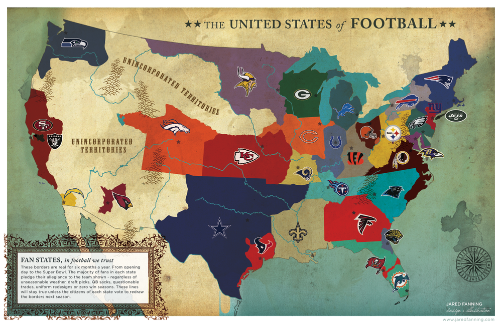
In celebration of the NFL season and our lecture on projection I wanted to post this map. It looks like a throwback territories chart from the early Americas. I would say this map was projected using Lambert conformal conic because the border between the United States and Canada has that curve to it. The orientation of the US looks right. It looks like the early maps we used to name the states in elementary school. We were looking at a Lambert conformal conic projected map and didn't know it yet. This one was posted by
sbnation and was created by Jared Fanning.

No comments:
Post a Comment